


Recommendations for those who hire a charter boat for this summer
Nautica Digital Europe
Sports
Highlights
Navy
Recommendations for those who hire a charter boat for this summer
Nautica Digital Europe
Sports
Highlights
Navy

Navionics provides you with wise tips for higher quality charter navigation.
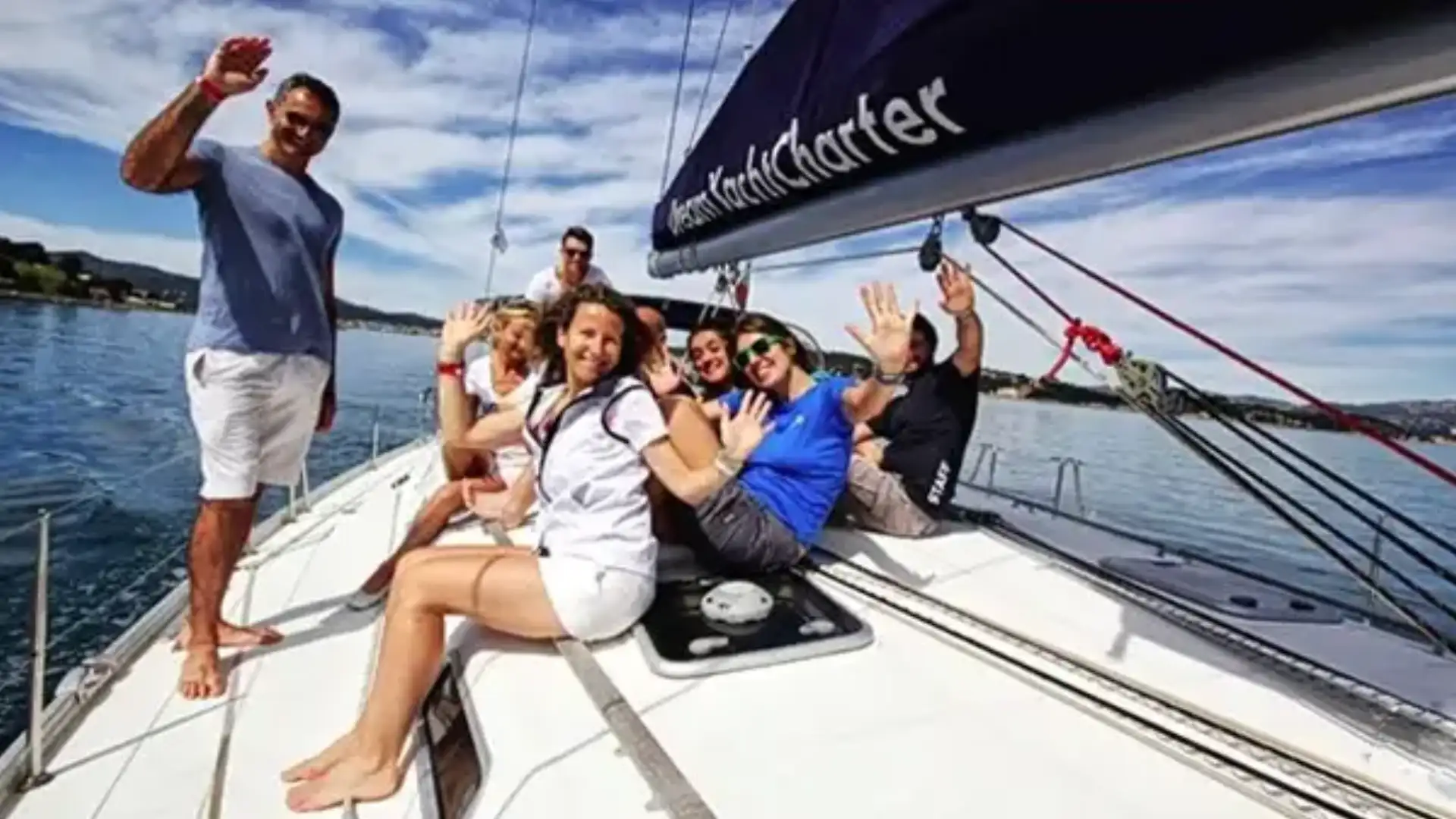
If you are planning to rent a boat, we have some recommendations to make your trip safer and more enjoyable. Take a moment of time to read these tips and enjoy your browsing experience to the maximum.
Before leaving
- Report to the lessor about the GPS plotter on the boat, make sure the manual is on board and check that the mappingis included. Of course, if the ship has the Navionics mapping that is the leader.
- Find out ifMapping includes the area you're interested in. It controls that the mapping is up-to-date and that the plotter has the latest version on the market. You'll probably also be interested to knowif the card is 2D, like Navionics +, or 3D, as Platinum +. He also asked whether Sonar Chart, which was akey instrumentfor fishing and for any other nautical activity.
- Download the Navionics Boating app on your mobile device with updated mapping of your area of interest.It is a great booking navigation tool - fundamental once in land - and offers a set of advanced functions such as Time and Tides, POIs (points of interest), SonarChart™Live and Authorising from dock to dock, which are usually not available in the plotters that are found in the rented ships. We suggest you consult the mapping of your itinerary on our webapp in your mobile device app while planning your trip.
When you're on board
- Check withthe lessorthe plotter software and cards are updated. Turn on the plotter to check that it works properly. Before you sail, monitor your itinerary with different zoom levels for safer navigation.
- Safe navigation requires knowledge and good judgment while simultaneously using different mapping systems. Control the ultrasound and always watch the water on which you are sailing. Use your Boating app as a reference tool, as there is no 100% precise card. Having the app on your mobile device always within reach will allow you to carry the cards with you at all times.
- During the trip, take advantage to discover all the functions included with your plotter. The Navionics Boating app allows you to access the same detailed mapping as in the best GPS plotters, calculates the estimated arrival time and fuel consumption. If you like fishing, try the Fishing Mode in the Map Options. When you prepare to land, take advantage of the long list of POI (points of interest) that include the VHF channels of the marinas, nearby service stations, restaurant phones and much more.
- Provides local information to improve your cards!There is no letterperfect and there is always room to improve: click here to know moreabout the information you can provide to create a safer and more enjoyable browsing experience for all.
© 2024 Nautica Digital Europe - www.nauticadigital.eu


