


The Puertas Mosquera Collection is a national reference for historical cartography.
The Puertas Mosquera Collection is a national reference for historical cartography.
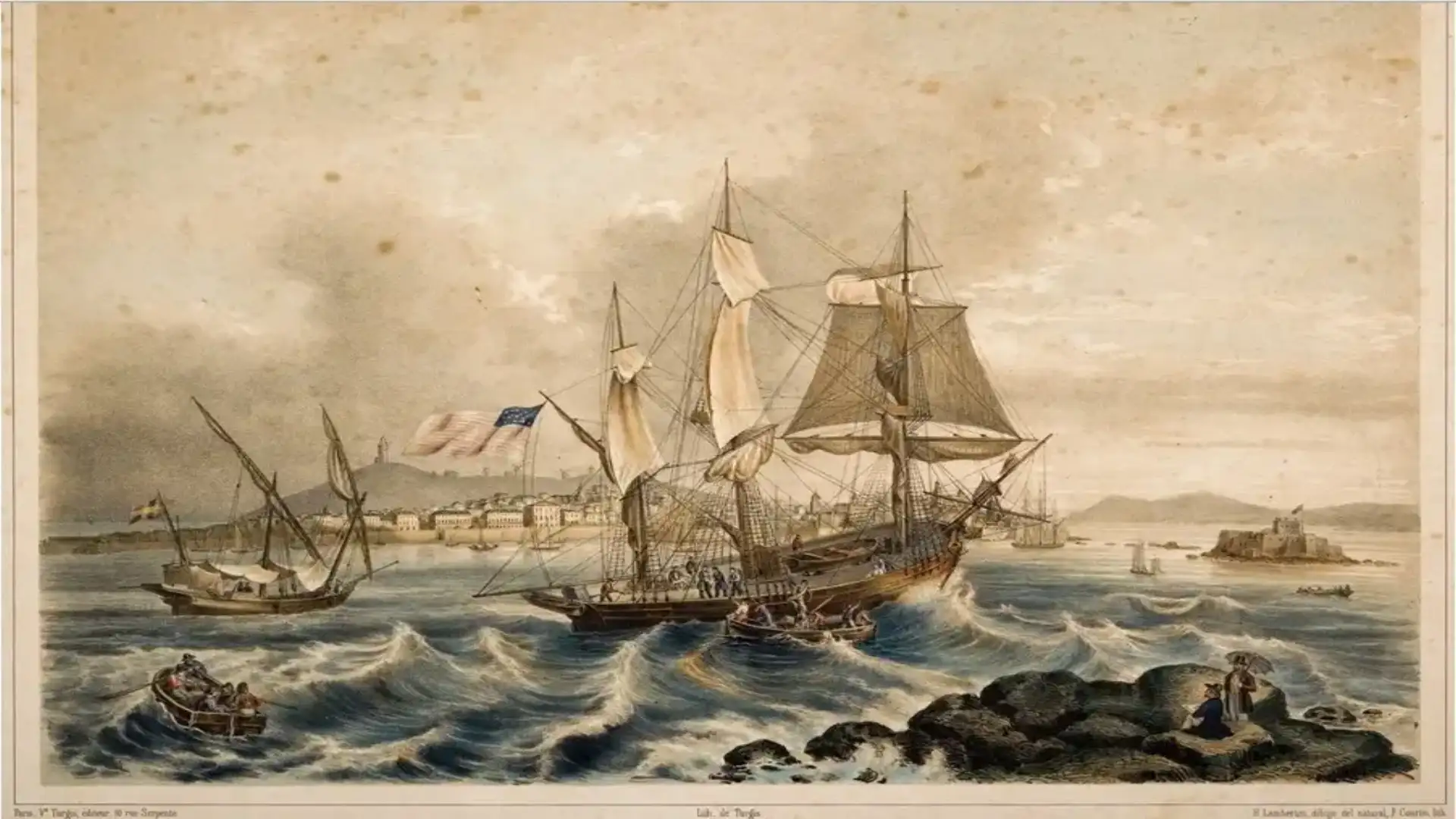
The Puertas Mosquera collection shows the work of different cartographic schools and brings together a balanced set of documents from the 16th to the 19th centuries concerning both corographic and nautical cartography. It brings together in its files cartographic pieces of undoubted value especially of Galicia and the Peninsula, as well as a spectacular collection of Derroteros, as well as the Battle of Rande and Elviña, complemented by many ancient engravings that make it the most important private collection at the national level. Created and enhanced by Carmelo Puertas and the support of his wife, it is the accumulated effort of many years, in which this jeweler of profession of Torrelavega and established in Santiago de Compostela since his youth has turned with his knowledge and his continued economic contributions in achieving what he has achieved. It comes to enrich the personality to the effect of Carmelo Puertas, who is an excellent navigator and sailing regatist, having achieved many victories in high-level races throughout Spain, including participating in World Cruise Championships within the Spanish Team.

From the map published by Benedetto Bordone inIsolary(Venice, 1528), the funds of the collection of maps collect the work of great editors and cartographies such as Metellus, Ortelius, Mercator-Hondius, Merula-Bertius, Tassin, Blaeu, Janssonius, Briet, Montecalerio, Sanson, De Wit, Mortier, Iaillot, Cantelli-De Rossi, Danckerts, Valk-Schenk, Visscher, Müller, De Fer, Robyn, Browne, Coronelli, Van Ader, Aldor, Aldor, Aldor, Aldor, Aldor, Aldor, Aldor,Spainde Henrique Flórez-, Philippe, Zatta, Bonne, Tardieu, Von Reilly, Carli, Cassini, Zappino or Gussefeld, among others.
From the 19th century, the work of Domingo Fontán, which, with his "Geometric Letter..." printed in the workshops of Lemercier (Paris, 1845), is the cartographic reference of Galicia of that century, without forgetting Borghi, Lapie, Vandermaelen, Dauty and Malo, Coello or Boronat.
This collection of maps is composed of approximately one hundred and ninety documents and also brings together a significant number of city and monuments plans.
The nautical mapping of the collection begins with the pioneering work of Waghenaer, an atlas that sees the light in Leiden and Antwerp in 1583, in five successive editions until 1590. The first of them in Dutch,Sphiegel der Zeevaert, contains twenty-three cards from Cadiz to Scandinavia. The collection has eleven copies concerning the Iberian Peninsula, three of which make up the Galician coast. This was the impact of Waghenaer's work that, from that moment on, the publications of atlas of nautical mapping are being produced in the different European spotlights. Repeated editors such as Blaeu, Colom, Merian, Dudley-Lucini, Goos, Ianssonium, Doncker, Theunisz, Seller, Van Keulen, Mortier, De Fer, De Wit-Renard, Bellin, Mount and Page, Kitchin or Dezauche-Magin perform their own "zeespiegel."

In Spain, the figure of Vicente Tofiño de San Miguel, born in Cadiz in 1732, director of the Academy of Guardiamarinas and renowned astronomer, was highlighted and enjoyed by the admiration of European scientists. SuAtlas Marítimo de EspañaIt can be considered the largest cartographic work developed in Spain and the starting point of modern cartography. Many of the letters published by Le Service des Vaisseaux de la République Française and by Faden in London are based on the uprisings made by Tofiño. In the 19th century, together with the work of prominent private editors such as Whittle, Gustav Klint, Luffman, Norie, Gold, Fernández Flórez, Doral, Lowry, Robiquet or Losada, official bodies are created in all countries, which give rise to a state role in cartographic production, as is the case with the Navy's Hydrographic Deposit. The work of all these cartographies mentioned here contributes to the collection of approximately two hundred and ten copies, representing a part of the North Atlantic from Ouessant to Cadiz. Therefore, in addition to Galicia, the Portuguese and Cantabrian coasts appear in a significant way.

This set of cards is complemented by a series of lines from the late 17th to 1900. The guide written for the use of the navigators - the derrotero, in Spanish; routier, in French; roteiro, in Portuguese, and sailing- direction or rutters in English - was for centuries the fundamental guide of the pilots to direct the ships in their singways and until the 15th, the middle of which the sailors of northwestern Europe depended. From the XVI they expand their information graphically and systematically, with views and profiles of the coast, as they were seen from the sea, and in some cases with small maps of the area contained therein to facilitate navigation.
Le petit flambeau de la mer, by René Bougard (Le Havre, 1694) is a nautical manual, which contains sixty-seven cards and was widely used in navigation schools from 1684 to 1817. This work took its title from the nautical atlas of Blaeu and Ianssonius. Later is the Manoel Pimentel RideArt of sailing... and Roteiro(Lisbon, 1712), divided into two parts. The first is theoretical, while the second, more extensive, corresponds to a series of defeats from various parts of the world. In the collection is also foundDealer of the coasts of Spain in the Atlantic Ocean and the Azores or Tercers Islands, for intelligence and use of spherical cards(Madrid, 1789), by Vicente Tofiño.

In the 19th century the publication of this type of works is multiplied:Sailing directions for the coasts of Spain and Portugal from Cape Orthodox to Gibraltar(London, 1838) andSailing directions for the bay of Biscay including the coasts of France & Spain from Ushant to Cape Finisterre(London, 1847), both of the well-known British hydrographer J. W. Norie;Dealer of the coasts of Spain and Portugal from Cape Trafalgar to the port of la Coruña(Madrid, 1867), written by the captain of the honorary frigate Pedro Riudavets and Tudury;o Sailing Directions for the coasts of Spain & Portugal from Cape Orthodox to the Strait of Gibraltar(London, 1868), published by James Imray, are some examples contained in the Collection.
© 2024 Nautica Digital Europe - www.nauticadigital.eu


